Planning Your Trip to Boundary County
From Boundary County you can reach 14 fall color locations and 0 scenic byways in Idaho, for day trips that range from a one-hour hike to a full-day drive.
When to Visit
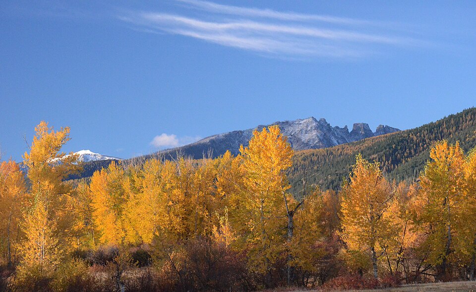
Across the destinations we track around Boundary County, peak colour has historically landed in Late October, measured from NASA MODIS satellite records at those spots.
Highlights around Boundary County
How we know when Boundary County peaks
Each date above is a multi-year climatology built from NASA satellite observations at that specific spot, with the definition of peak calibrated against ground cameras — not a regional average wearing a local name. Where a location has no usable observations of its own, we withhold the date and point you somewhere nearby that does.